OutdoorCompass.net – Navigation sounds more intimidating than it usually needs to be. For most beginner trails, staying on track comes down to a few simple habits: downloading a map before you go, paying attention to trail markers, and checking in with your location regularly rather than only at the start and end. You don’t need advanced compass skills to hike safely — those become more relevant as you move to longer or less-marked trails.
This guide covers the tools and habits that matter most for a beginner. If you’re new to hiking, our Hiking for Beginners guide covers the basics of getting started on the trail.
Key Takeaway
There are three main ways to navigate a trail, and most beginner hikes only really need the first one:
- A hiking app or offline map — the most practical option for the vast majority of beginner trails.
- A physical map — a reliable backup, especially useful if your phone battery runs out or you’re in an area with no signal.
- A compass — a more advanced skill, most relevant on trails that are poorly marked or where you’re navigating off-trail.
Reading Trail Markers
Most maintained trails use some kind of physical marking system to help you stay on the path, even without a map or app. Common types include:
- Painted markers (“blazes”) — small painted marks on trees or rocks, often color-coded to indicate different trails.
- Signage — posted signs at junctions, often showing distances or destinations.
- Cairns — small stacks of rocks used above the treeline or in areas without trees, where painted markers aren’t practical.
Marking systems vary by country, region, and even individual park or trail network, so it’s worth checking the specific system used on your trail before you go — trailhead signage or the park’s own website usually explains it.
At junctions, look for a marker confirming your trail before continuing. If you don’t see one within a short distance after a junction, that’s a signal to stop and double-check rather than assume you’re still on the right path.
Using a Hiking App or Offline Map
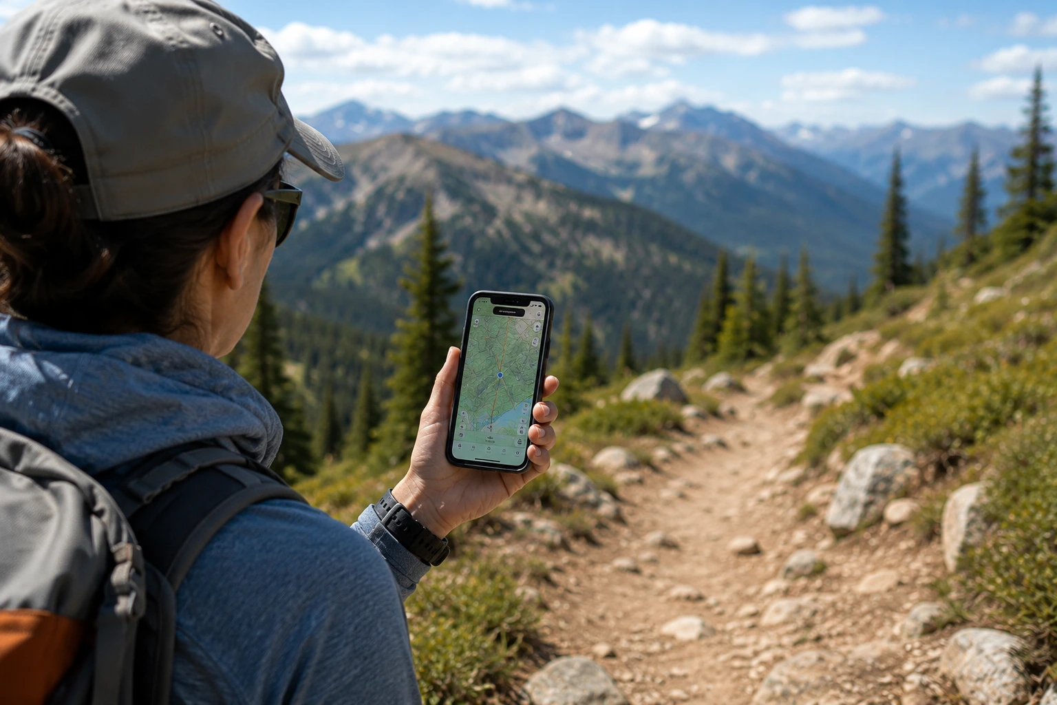
This is the most practical navigation method for the vast majority of beginner trails.
Download the map before you leave home, not once you’re at the trailhead. Many trails have unreliable or no cell signal, and downloading data over a weak connection at the trailhead often fails or takes far longer than expected.
Once downloaded, most apps show your live location as a dot on the map using your phone’s GPS, which works independently of cell signal. This lets you see whether you’re still on the trail, even with no service.
A few practical tips:
- Enable airplane mode once your map is downloaded — GPS still works in airplane mode, and it significantly extends battery life by disabling the constant search for cell signal.
- Carry a portable charger for longer hikes, since GPS use does drain battery over time.
- Check your position periodically, not just when you’re unsure — this makes it much easier to notice quickly if you’ve drifted off-route.
There are several hiking and trail apps available with offline map features; since specific app features, pricing, and accuracy can change, it’s worth checking current reviews before choosing one rather than relying on any single recommendation.
Using a Physical Map
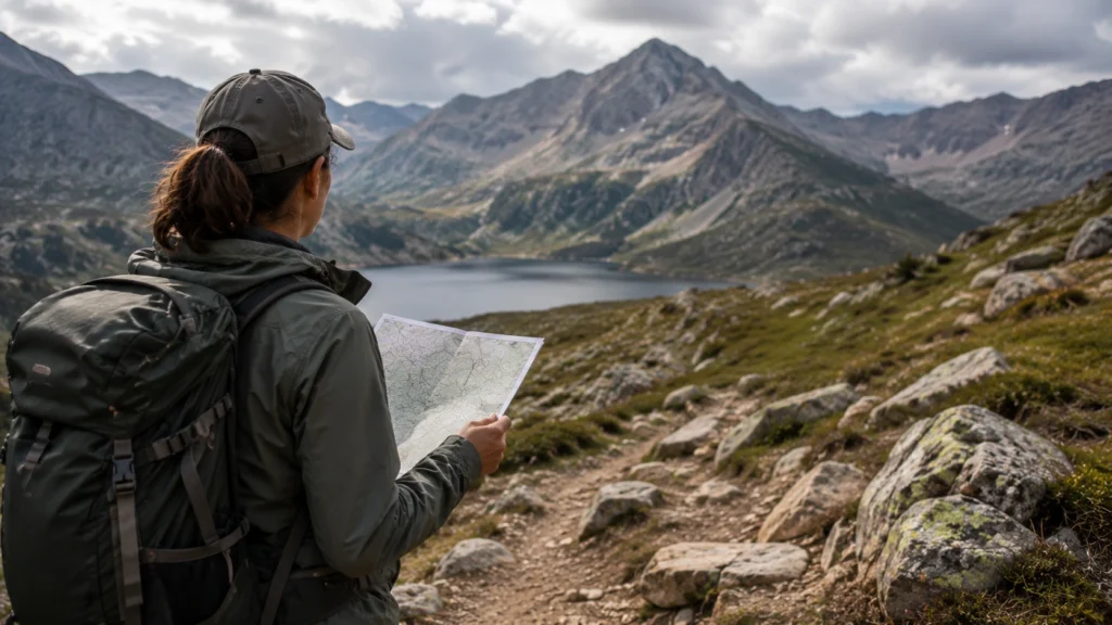
A physical map doesn’t rely on battery life or signal, which makes it a useful backup even if you primarily navigate with an app.
Basic map orientation for beginners comes down to matching what’s on the map to what you can see around you: locate a recognizable feature (a junction, a stream, a viewpoint) on the map, then confirm you can see that same feature in front of you. Doing this periodically as you hike keeps you oriented without needing advanced map-reading skills.
Physical maps are particularly useful in areas known for poor cell signal or in cold weather, where phone batteries tend to drain faster than usual.
Basic Compass Use
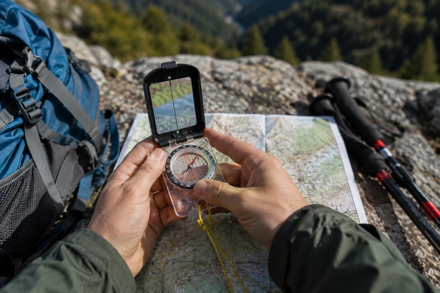
For most beginner, well-marked trails, a compass isn’t strictly necessary — but it’s a useful skill to have, especially as you move toward longer or less-marked hikes.
At its most basic, a compass shows you which direction is north, which lets you orient a paper map correctly and confirm you’re heading the direction you intend. Using a compass together with a map to plot a specific direction of travel is a more advanced skill, and it’s worth learning through a proper course or guided practice rather than from a general guide like this one if you plan to hike routes that require it.
For a first hike on a clearly marked trail, focus on the app and marker-reading skills above — treat the compass as a skill to build over time, not a requirement to start.
Staying Found: Preventive Habits
Good navigation is less about reacting to being lost and more about habits that prevent it in the first place:
- Check your position regularly throughout the hike, not just when something feels off.
- Notice landmarks as you go — a distinct rock formation, a bridge, a fork in the trail — since these help you retrace your steps if needed.
- Pay attention at junctions specifically , since this is where most navigation mistakes happen.
What to Do at a Confusing Junction
If you reach a junction and it’s not clear which way your trail continues:
- Stop before continuing in either direction.
- Check your app or map to confirm the correct path.
- Look for a trail marker or sign near the junction that confirms your route.
- If it’s still unclear, it’s safer to backtrack to the last point you were confident about than to guess.
Guessing at a junction is one of the more common ways beginner hikers end up off-route, so treating any uncertainty as a reason to pause is a simple habit that prevents most navigation problems.
Frequently Asked Questions
Do I need to know how to use a compass for a beginner hike?
Not for most beginner, well-marked trails. A downloaded offline map or hiking app covers the vast majority of situations. Compass skills become more valuable as you move to longer, less-marked, or off-trail routes.
What’s the best app for hiking navigation?
Several apps offer offline hiking maps with different features, pricing, and trail databases. Since these details change over time, it’s worth comparing current options and reviews rather than relying on a single fixed recommendation.
What if my GPS location seems inaccurate on the trail?
GPS accuracy can be affected by dense tree cover, canyon walls, or cloud cover, and may occasionally show your position slightly off from your actual location.
If this happens, cross-check against visible trail markers or landmarks rather than relying on the dot alone, and treat a significant mismatch as a reason to slow down and reassess.